The Lower City appeared in the eighteenth century due to the eastern relocation of the former settlement around the fortification at the foot of the plateau. The day-to-day life of the city was moved here while the inner part of the fortress was almost completely occupied by the Austrian army and the staff of the Roman Catholic Bishopric. In this new emplacement, houses, churches and other public edifices were built, shops opened, a street network developed, and soon the new settlement reached the level of a true urban centre.
Under the influence of geographical, political and military conditions, most localities of any significant age have had to radically change their inhabited area upon occasion. This has certainly been the case in Alba Iulia, whose inhabited area has changed with almost every historical period.
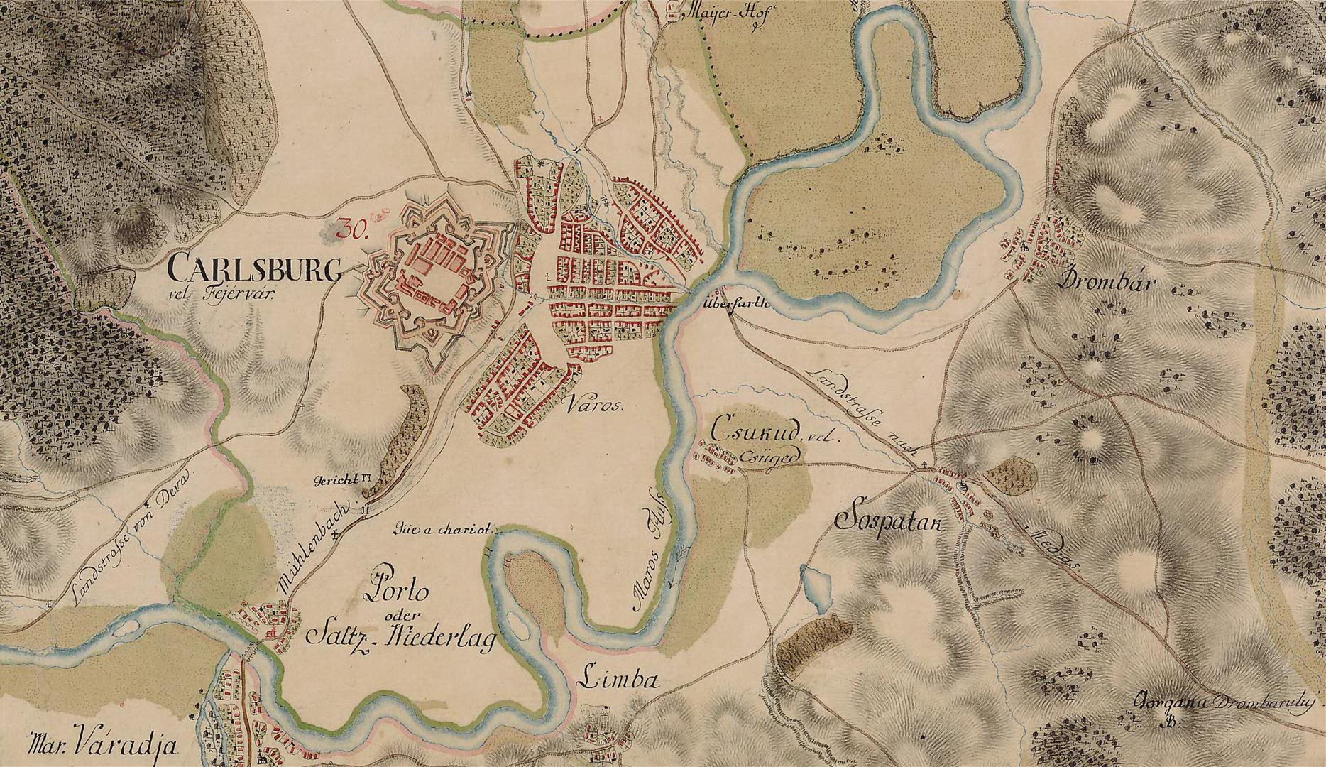
The first notable change occurred at the beginning of the Middle Ages, when the inhabited area of this settlement only partially covered the extent of the ancient one and was concentrated within the fortification walls and on its western side. Later, the inhabited area extended until it surrounded each side of the fortification. In the seventeenth century, Alba Iulia had two distinct areas, the Fortress and the outer city, the latter consisting of St. Mary, Lipova and Cărămidarilor neighbourhoods, to which the Maieri suburb was later added.
At the beginning of the eighteenth century, a new stage of urban evolution in Alba Iulia started, after Transylvania fell under the control of the Austrian Empire. The new authorities decided to build a Vauban-type bastioned fortification to replace the medieval one. The new fortification needed a far larger area, supplemented by a protection area with widths varying from 200 to 500 meters. Within this protection zone no edifices could be built, making it necessary to demolish the outer city and relocate it towards the eastern side of the fortress.
The works began in 1713. All buildings were demolished, except a couple of edifices located on the north-eastern side, near the mill’s channel, which were spared. The owners of demolished properties received compensation and plots in the new location of the city. In spite of this, some preferred to leave and settle in other Transylvanian cities, such as Aiud or Cluj, or in the Banate at Caransebeș. It seems likely that many of those who chose to leave based their decision on the conditions in the new location of the city: a marshy and easily floodable area.
However, the authorities tried to solve these problems. Between 1714 and 1720, a new channel was dug on a former secondary branch of the River Ampoi, which was later called a sanitary channel, and was designed to drain the marshes in the central area of the new city.
The first major edifice was St Trinity Church in Maieri II, erected in 1713. Around 1720, the “Dormition of the Mother of God” Church was constructed in the new Romanian neighbourhood of Lipoveni – the second church to be built in the new emplacement of the outer city.
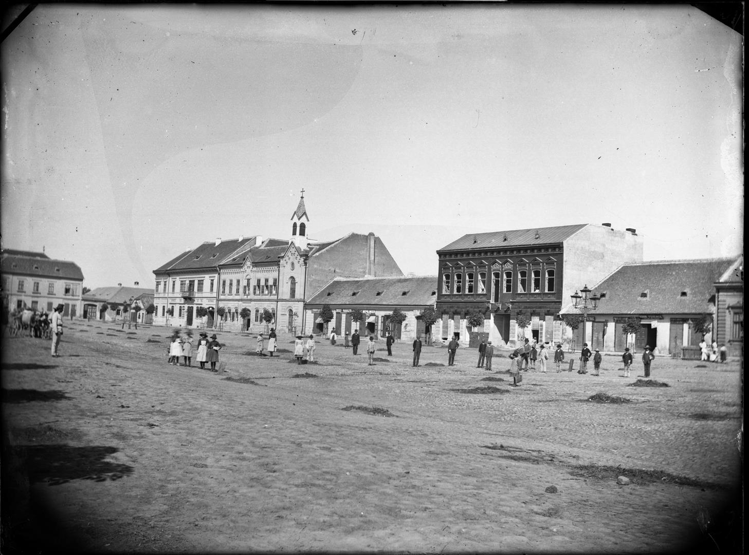
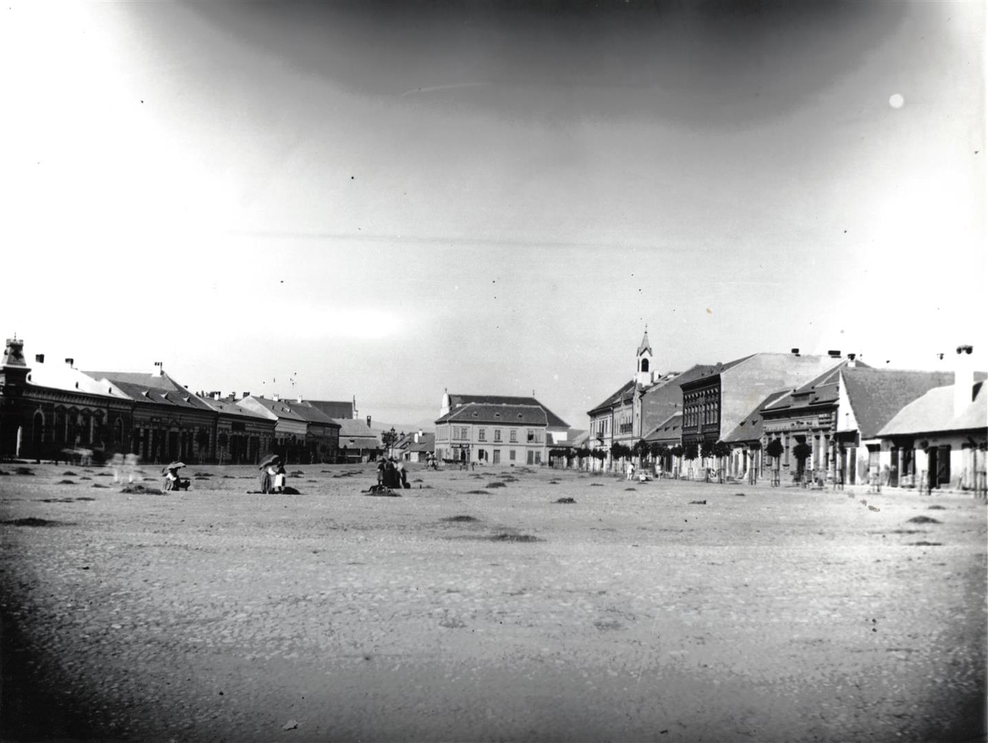
A plan drawn in 1728 shows the extent and structure of the new locality. There appear to have been Hungarian and German neighbourhoods, while the Romanian suburb, Lipoveni, was on the north-eastern side, across the Ampoi River. According to a participant of the Memorandum movement, Rubin Patiția (1848-1918), this was the structure of the privileged city.The other two suburbs, Maieri and Heiuș were referred to as Alba Iulia Village, and because serfs lived there they were not considered part of the more privileged city.These neighbourhoods were located around two markets and the main streets originated from these public locations were crossed at intervals by secondary streets, creating a chess table-like street network.
In the second half of the eighteenth century, the Lower City continued to develop. New lay buildings were erected – both private and public – as well as religious ones, such as the church of Franciscans (1752-1760) and the Reformed Church (1757-1761). At the end of the same century, after the adoption of the Decree of Tolernace in 1781, Orthodox Romanians built their own churches: one in Lipoveni in 1784, and one in Maieri in 1795.
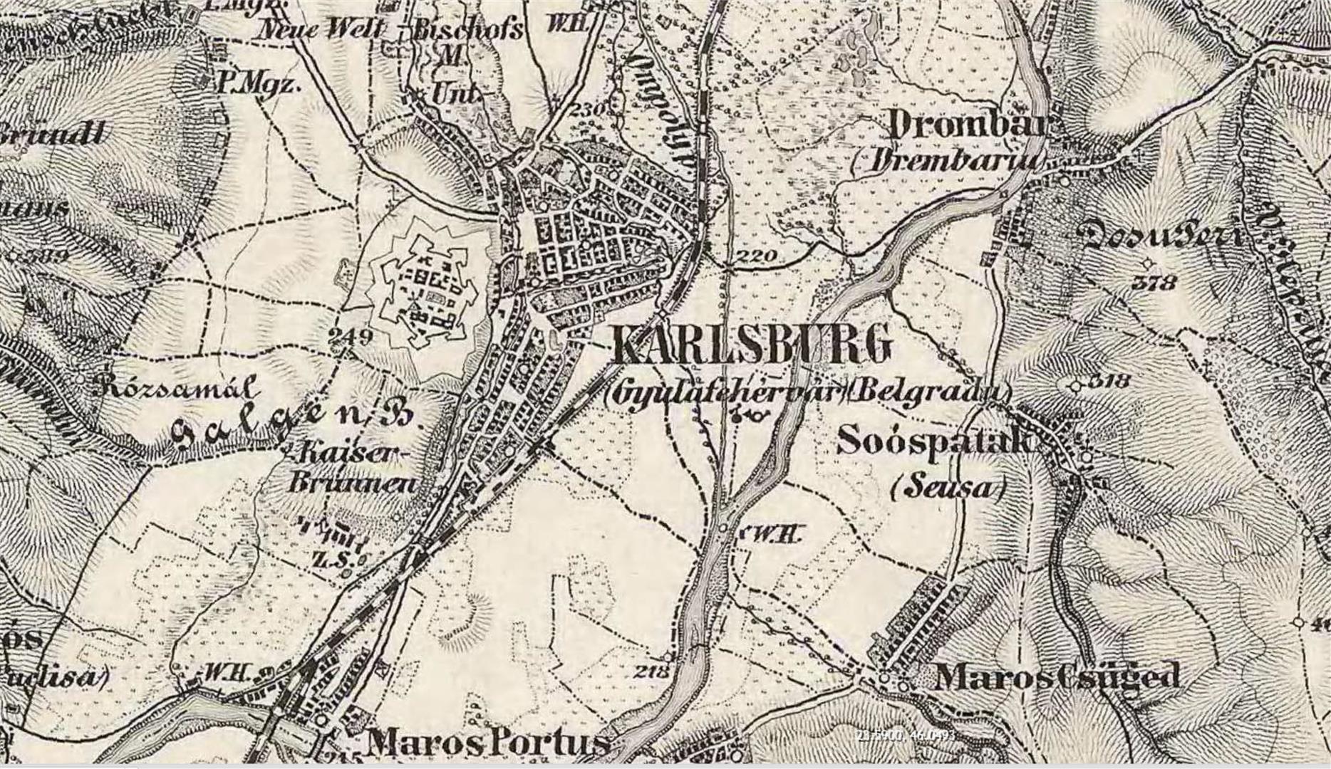
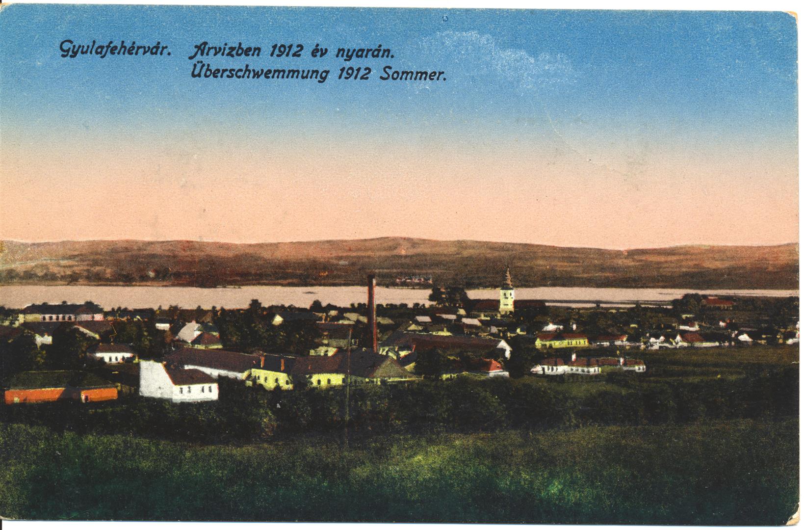
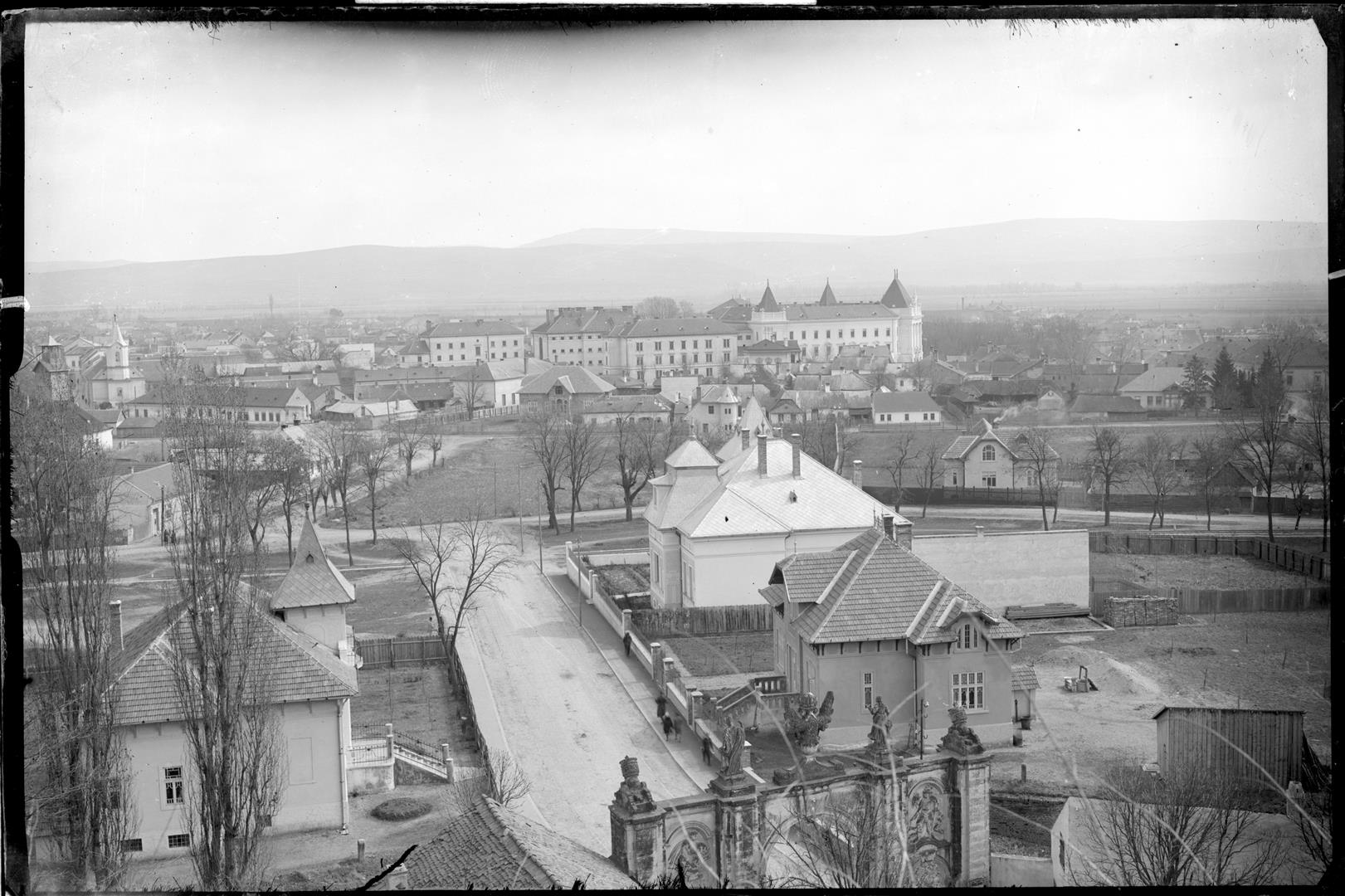
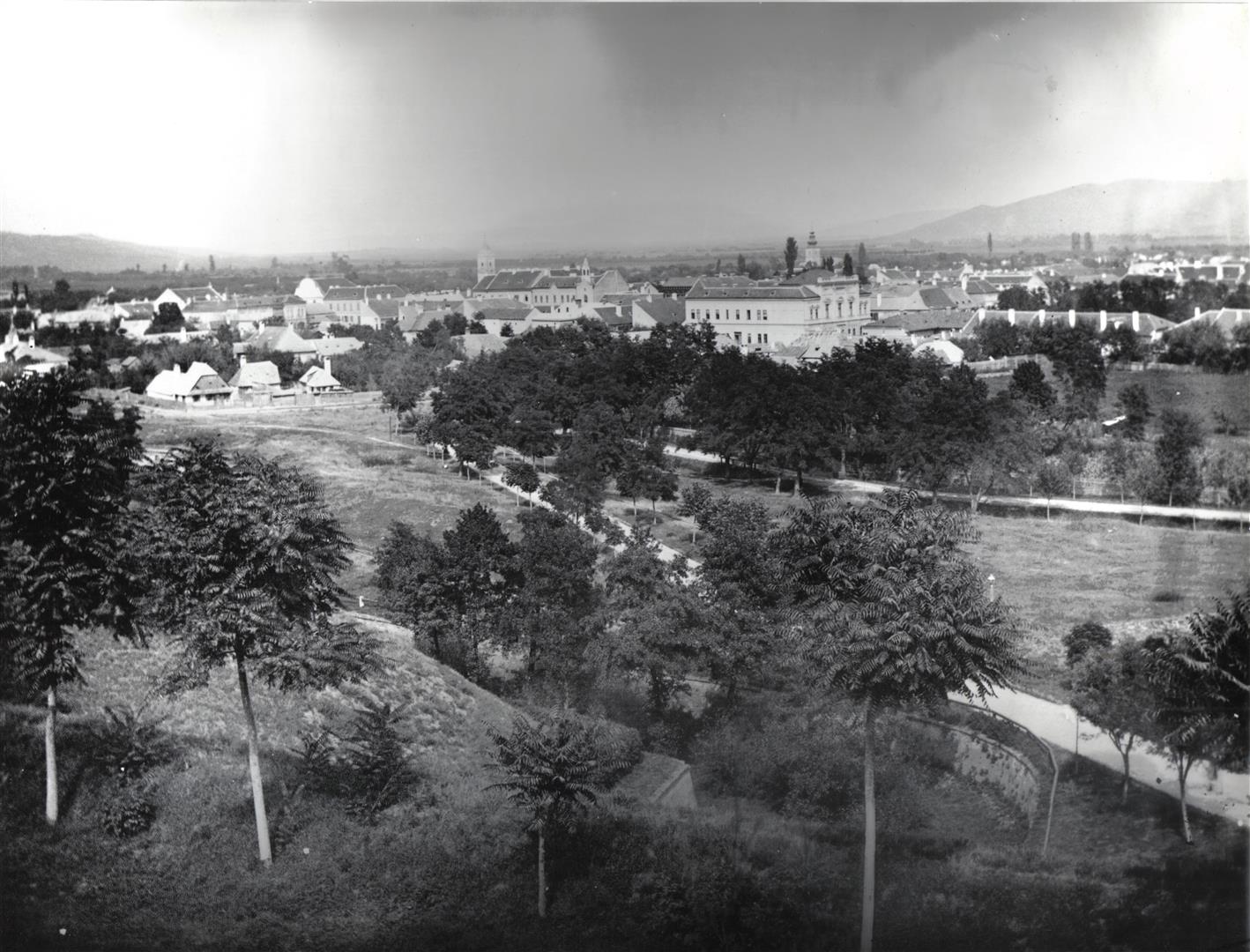
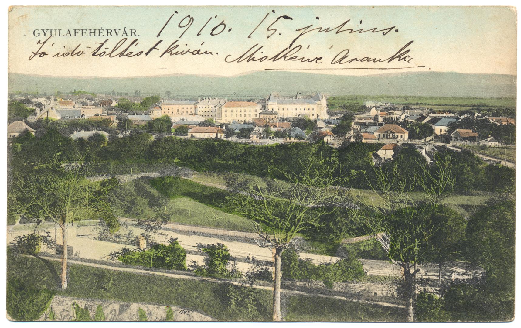
From the beginning of its existence, the Lower City was frequently flooded by the Mureș and Ampoi Rivers. The first river bordered the region on the eastern side, while the second traversed it on the north and east, with Lipoveni on the left bank. Although at the end of the nineteenth century the courses of the two rivers were moved farther from the city, they remained a source of risk for inhabitants.
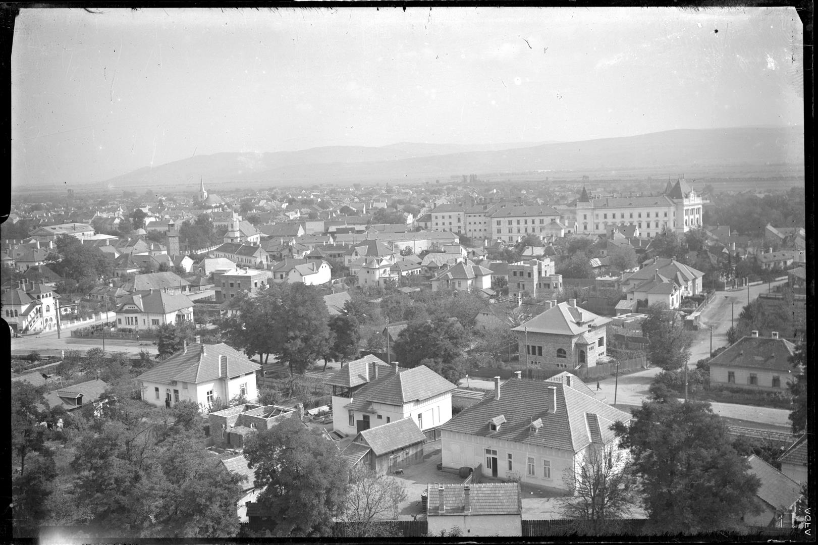
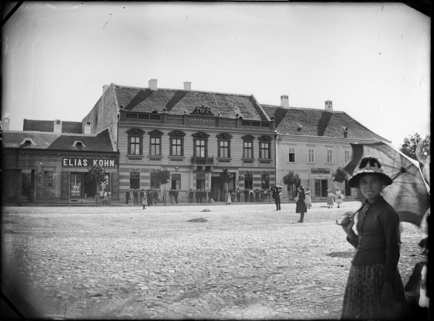
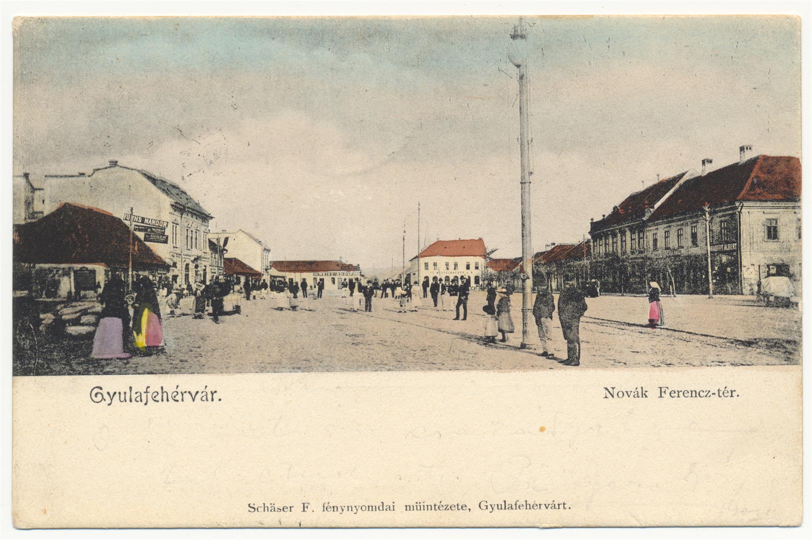
In the nineteenth century the urban development of the locality continued. On free terrain, new houses, churches and public edifices were constructed. In 1824-1826 the Lutheran church was built. In 1840 the old synagogue was erected; in 1854 the former City Hall and in 1883 the new synagogue were built. New streets appeared, sometimes in continuations of existing ones, thus the city extended towards the north and south. In the late nineteenth century, the width of the protection zone around the Fortress was reduced, thus the city extended towards west, reaching the left bank of the sanitary channel.
During the first decades of the twentieth century, the inhabited area continued to grow in the same directions. New houses were built, along with public edifices such as the Palace of Justice (1908). At the beginning of the 1930s, the city crept closer to the fortress, as a result of plots of land being granted for the construction of houses in the protection zone of the fortification, a project initiated by the authorities, the main beneficiaries being especially the representatives of the new Romanian elite and their families.
Thus, the Lower City reached the extent and aspect that it preserved for more than half a century. The situation was changed by the policies of the Communist regime, which aimed at a radical breakthrough that went beyond industrialization. Although in the first two decades after the installation of the dictatorship of proletarians, Alba Iulia was relatively sheltered from the policy of systematization of localities, starting in the 1970s, the Lower City was maimed, from an urban point of view, with numerous buildings – both private houses and public edifices – demolished in order to make room for blocks of flats destined for the working class. One by one, important symbols of the city – such as the old City Hall, the Europa and Hungaria (Dacia) hotels and the new synagogue – disappeared. The buildings erected on their locations were large in size and ignored the rules of urban aesthetics, thus the lower city (nowadays called the Centre) has retained an aspect of improvisation which begs to be remedied. (C. A.)
